
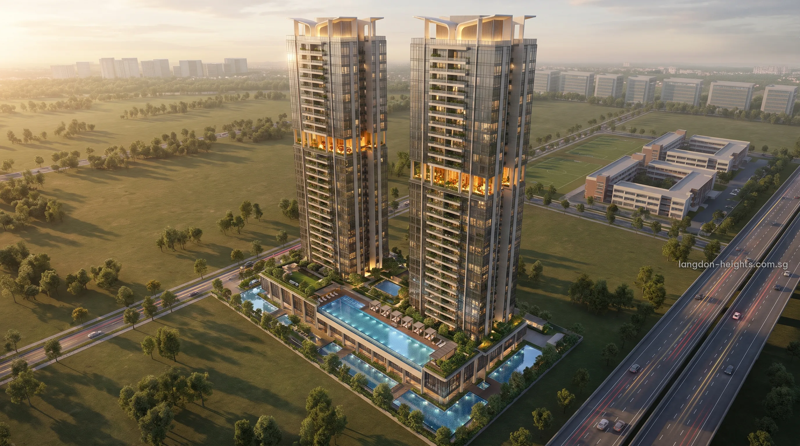
The Kent Ridge campus of the National University of Singapore and National University Hospital both lie within about 0.6 km of Langdon Heights, with one-north Park and Kent Ridge Park adding green space within about 2 km.
The NUS Kent Ridge Campus and Langdon Heights
The nearest buildings of the Kent Ridge campus are about 0.5 km from the Dover Drive site in a straight line. The campus’s medical faculty buildings stand on Medical Drive.
Kent Ridge MRT station (CC24), about 0.7 km from the site, is one stop from one-north on the Circle Line, and both stations serve the campus side of the area.
For students, researchers and university staff, the Langdon Heights Condo offers the campus either on foot or by a single train stop.
The NUS Kent Ridge campus.
Straight-line distance from the Dover Drive site to the nearest campus buildings.
National University Hospital Near Langdon Heights
National University Hospital, on Lower Kent Ridge Road, is about 0.6 km from the site. Households at Langdon Heights therefore have a hospital within a short distance, and clinicians and hospital staff have a home close to the wards.
Together with the medical faculty buildings on Medical Drive, the hospital gives this side of the neighbourhood a strong health and teaching character, served by Kent Ridge station on the Circle Line.
Kent Ridge Park and one-north Park Near Langdon Heights
one-north Park, the park within the one-north business park, is about 0.8 km away and suits an early walk or an evening run. Kent Ridge Park, a public park about 1.8 km from the site, offers a longer outing for weekends.
The two parks offer green space at different scales: one-north Park close to home and woven into the working district, and Kent Ridge Park further out for an unhurried afternoon. Both add balance to an address defined by its campus and its hospital.
| Place | Straight-line distance |
|---|---|
| NUS Kent Ridge campus (nearest buildings) | about 0.5 km |
| National University Hospital, Lower Kent Ridge Road | about 0.6 km |
| Kent Ridge MRT (CC24) | about 0.7 km |
| one-north Park | about 0.8 km |
| Kent Ridge Park | about 1.8 km |
Figures are rounded straight-line measurements taken from the Dover Drive site on OneMap; walking and driving routes cover more ground.
Langdon Heights Between Campus and Business Park
Langdon Heights stands where the university, the hospital and one-north meet. Fusionopolis is about 0.45 km away, Biopolis about 1.0 km and Singapore Science Park about 1.4 km, so research careers and study can share a single neighbourhood.
URA’s Master Plan 2025 names Dover-Medway as a new housing neighbourhood in greater one-north with up to about 6,000 new public and private homes, and the Dover Drive site is the first private residential parcel released there. The project is a 99-year leasehold development of about 625 homes, as URA estimates.
Langdon Heights and the Circle Line Towards HarbourFront
From Kent Ridge, the Circle Line runs on towards HarbourFront. Since Stage 6 opened on 12 July 2026, with new stations at Keppel, Cantonment and Prince Edward Road, that same line carries on to Marina Bay, so the campus side of the neighbourhood now connects to the city by a continuous route.
By road, the Ayer Rajah Expressway (AYE) runs along the south-west edge of the area, giving residents of Langdon Heights direct access to the expressway for trips beyond Kent Ridge.
The location page gives the full set of distances, and the amenities page covers everyday needs nearby.
Receive Every Langdon Heights Release First
Buyers who register for Langdon Heights are sent the e-brochure, the floor plans and the price list by email on the day each appears, along with early invitations to the preview. Showflat viewings are arranged by appointment through the Sales Concierge; email us to register.